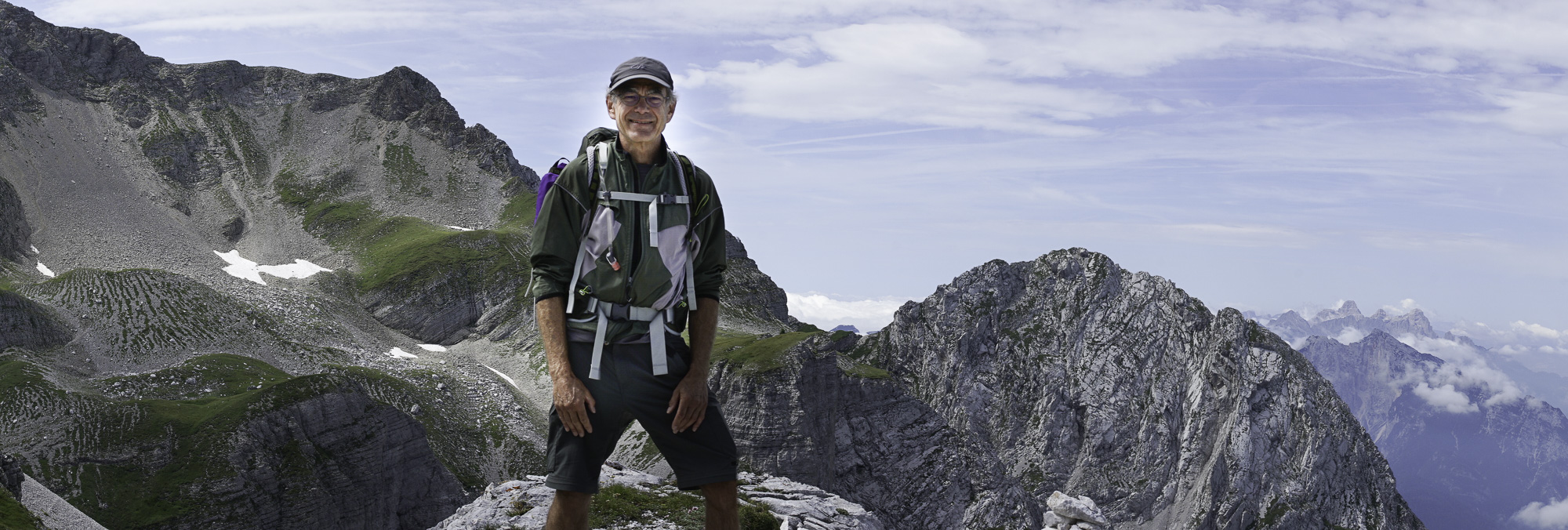
The Alps – Alta Via 1
Hiking high above tree line and along ridges in majestic mountains is one of the real pleasures in my life. Last summer I hiked the Alta Via 1 (AV1), a classic hut-to-hut hiking route through the Dolomites, a group of mountain ranges in northeastern Italy, toward the eastern end of the Alps. The route is 75 miles (120 kilometers) long, with elevation gains along the way that total about 22,000 feet (6,700 meters). The AV1 traces an amazingly picturesque path through alpine summits (reaching about 10,000 feet, or 3,000 meters) and high plateaus, along rocky ranges with fascinating ridges and battlement-like sheer faces.
When you hike a route like this in the Alps you stay in a series of mountain lodges, called huts, or rifugios (in Italy), where you sleep in bunkrooms and eat dinners and breakfasts at large tables with other hikers. There’s a strong communal feeling to the experience that I love. You end up traveling with overlapping clusters of hikers, individuals or small groups – staying and eating together in the huts and coming across each again on the route, checking maps and comparing notes along the way. The people with whom you start out the day may move ahead, but it’s no surprise to see them on the trail later that day, or enjoying a meal at a sunny outside table at the next lodge when you finally arrive to join them.
In this post I’m sharing photographs of some of the alpine scenes that I captured on my trek through the Dolomites. The area is south of the Austrian border and includes the province of South Tyrol, which was occupied and then annexed by Italy at the end of World War 1. If you hike from Alta Via 1’s north end to its south end you transition from a distinctly Austrian culture, almost all German speaking, and end up in one that is much more Italian. The front lines between Germany and Italy during WW1 ran through these mountains, and reminders and remnants of the war can be seen along the way. Via ferrata are cable-secured routes that were set up by the Italians at the time to enable soldiers to navigate steep and dangerous routes and avoid mine fields. Today more adventuresome hikers can choose routes where these cable systems are still maintained and you can hang on for your life!
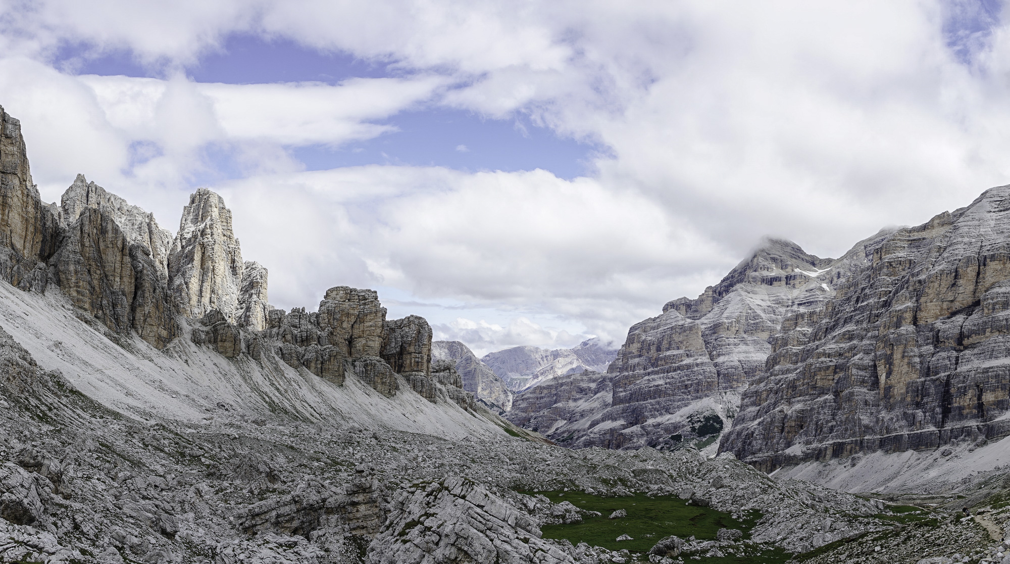
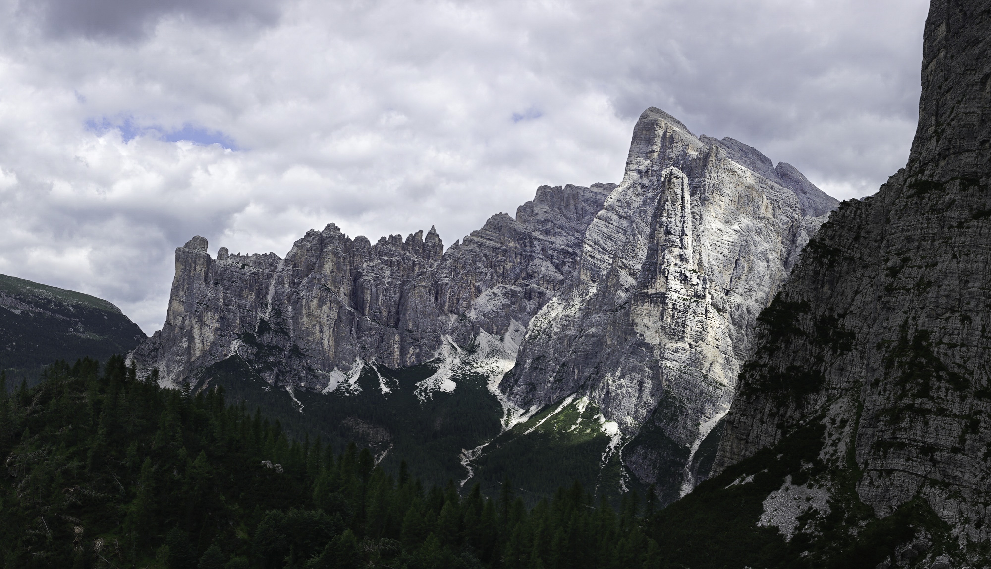
On Day 2, on the way to Rifugio Fanes, the view from the top of a very steep part of the trail shows the adjacent rocky face, the white stone outfall on the opposite slope, and a valley stretching off into the distance.
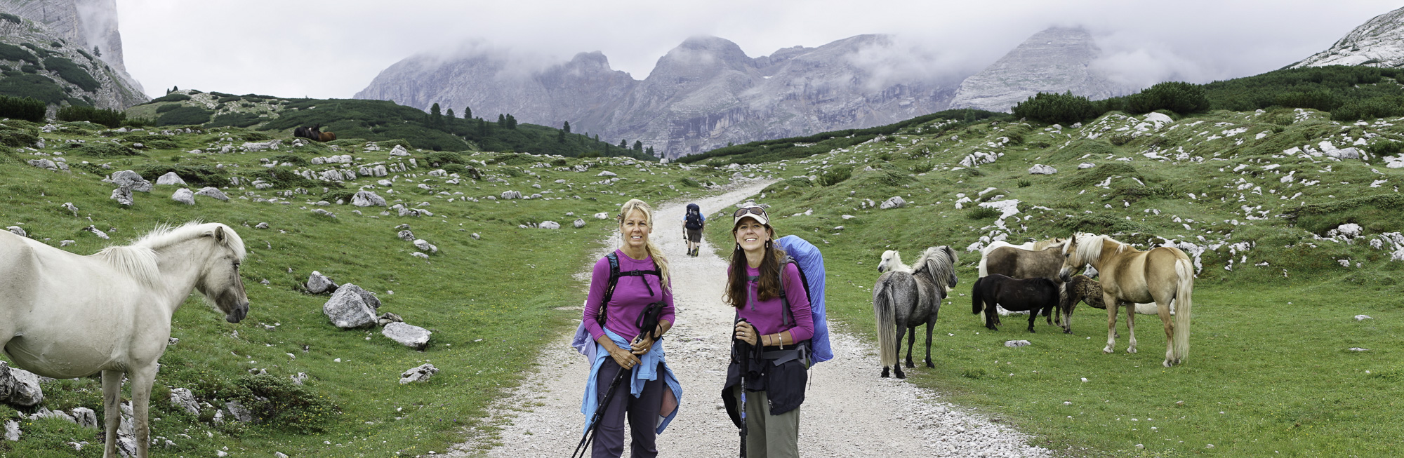
Sisters Andrea and Sonia, with ponies, along the trail to Rifugio Scotini on Day 3. I hiked with them and Sonia’s husband off and on for several days of the trip. Although it was common to come across herds of cows in alpine meadows this was the only time ponies appeared.

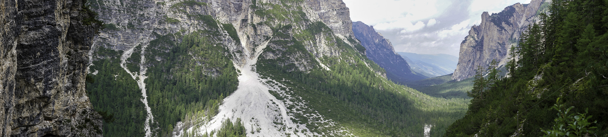
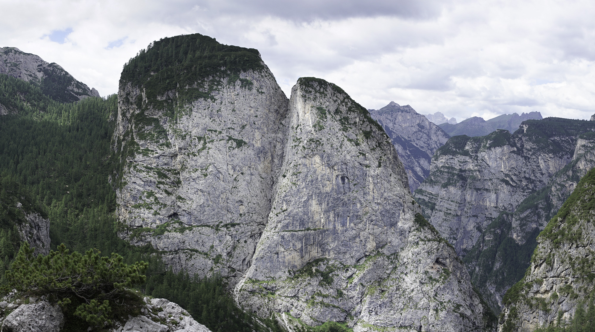
On Day 4, on the way to Rifugio Dibona, I traversed one of the more spectacular alpine valleys I encountered during the trek. The scene is framed by the vertical “battlements” on the left and the steep striated stone faces on the right.
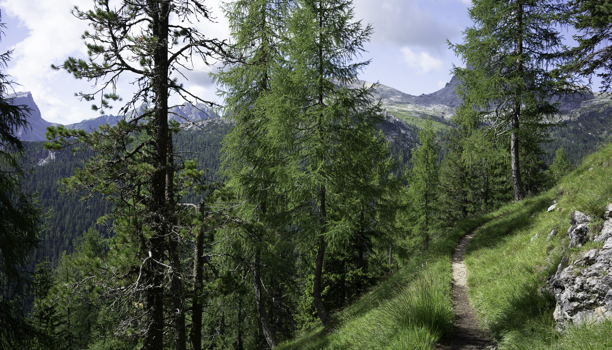
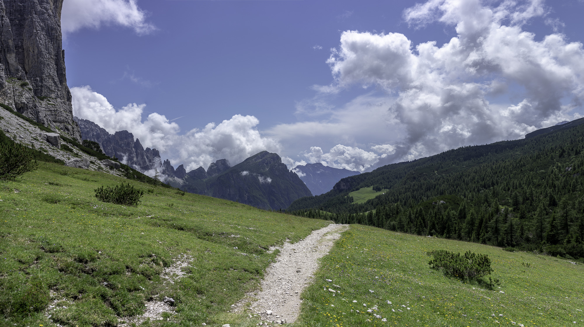
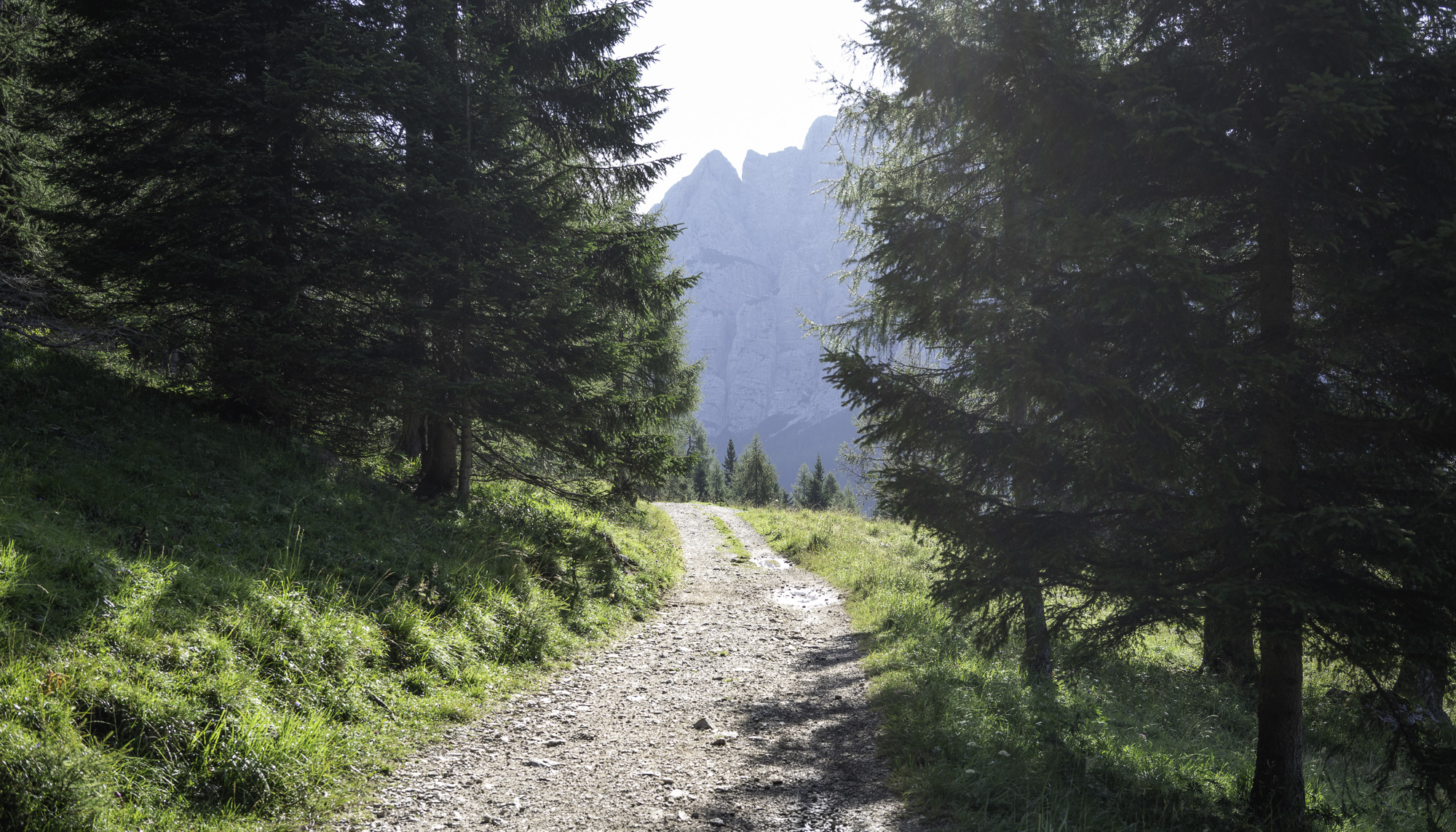
On Day 5 the trail initially ran along a long stretch of pleasant grassy slopes. The elevation was low enough to support an open forest of evergreens. Beautiful!
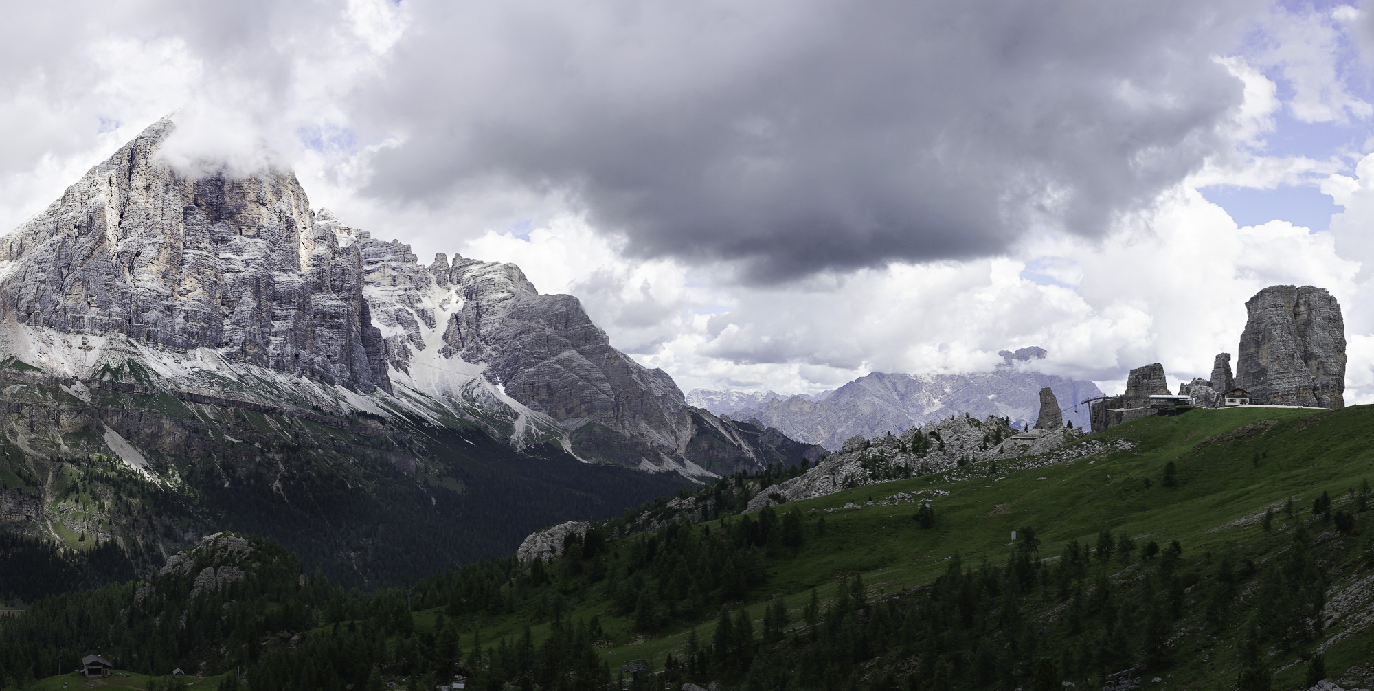
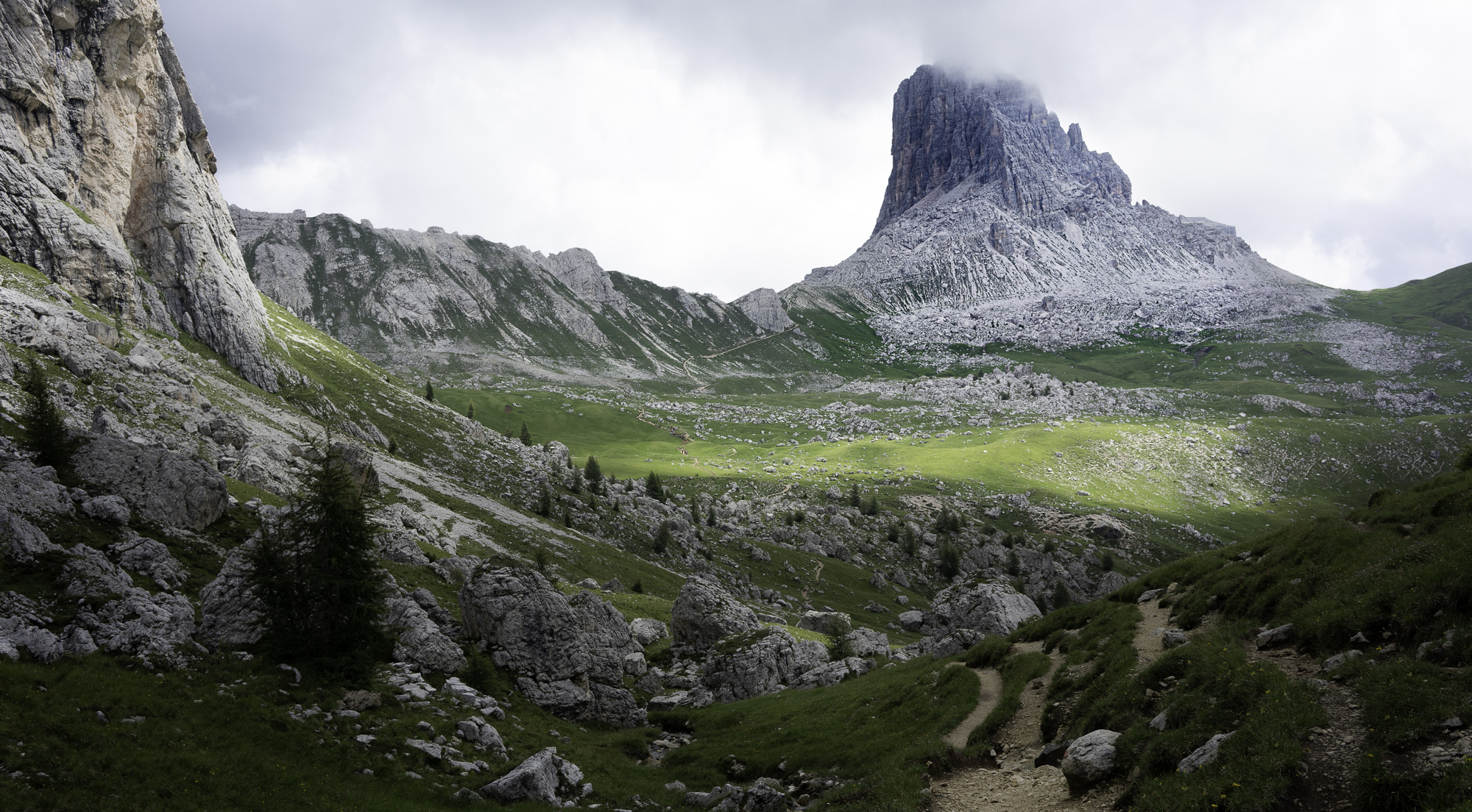
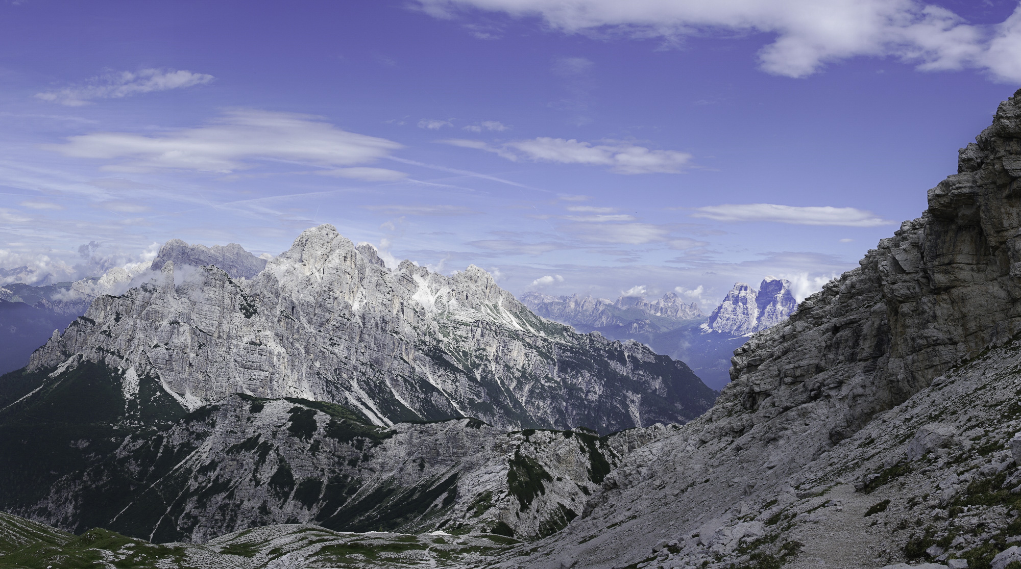
Almost to Rifugio Averau, I caught this nice light on Tofana di Rozes, whose peak is at about 10,600 feet (about 3,200 meters). If you look closely you can see the traces of trails along its base and on the steep rock outfall above the dark evergreen forest (center-right of the photograph).
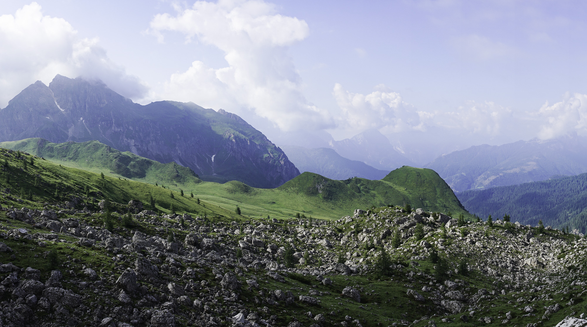
A view looking south from Rifugio Averau at the beginning of Day 6. The boulder- and grass-covered slopes catch the early morning light. Some of the green hills that poke up have pastures on the top of their steep forested slopes.
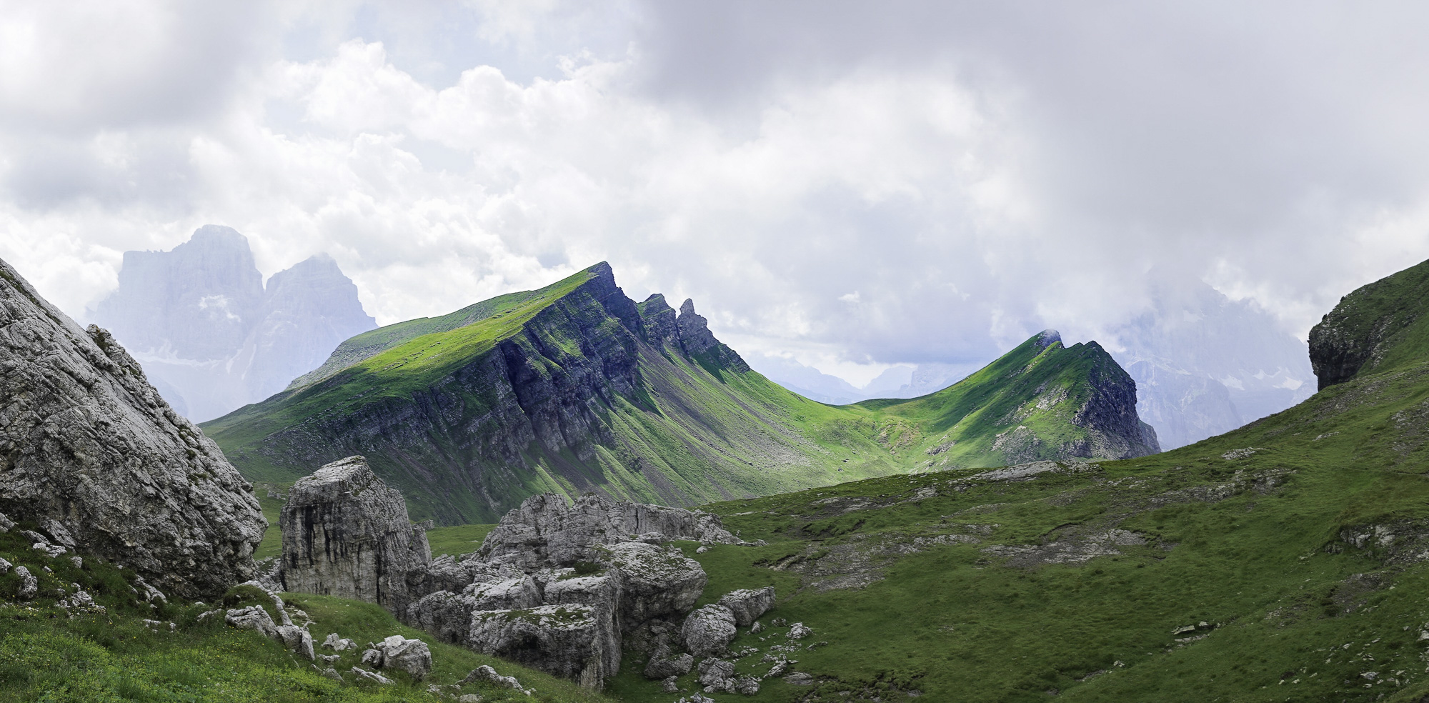
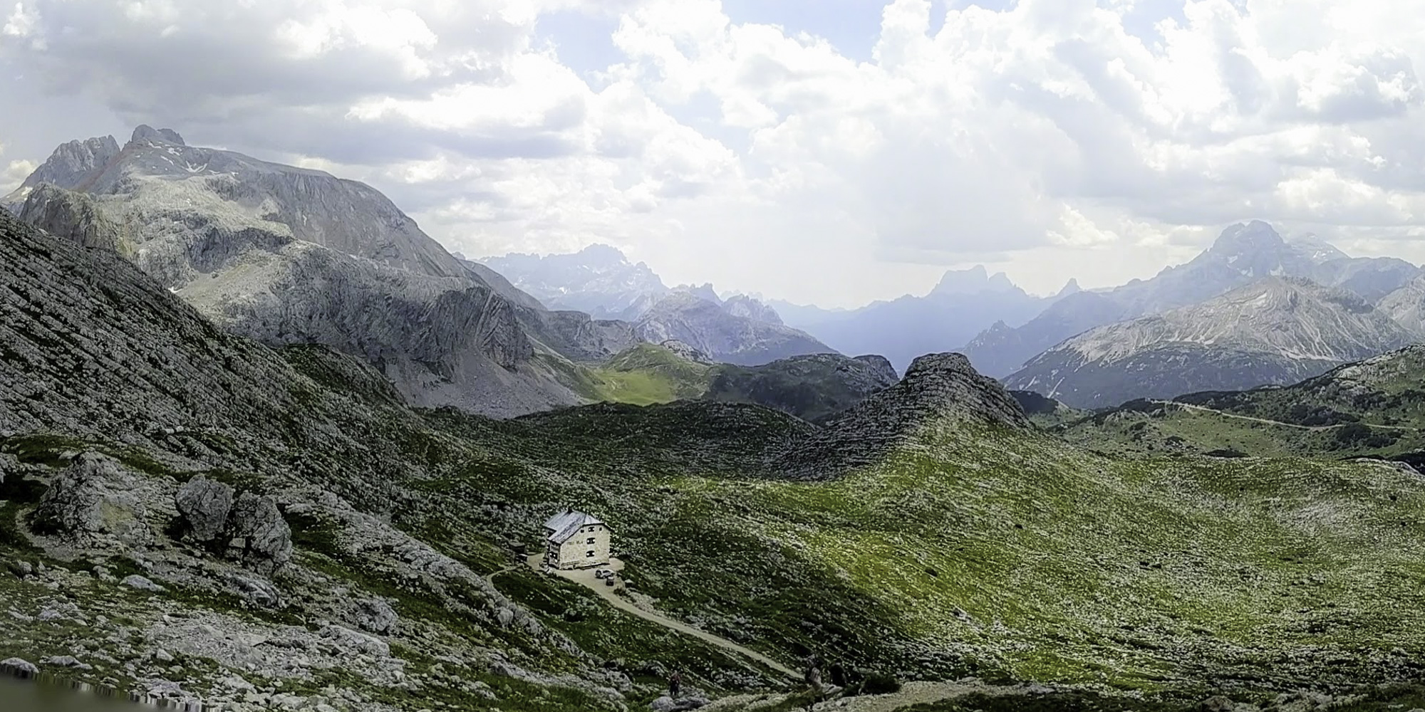
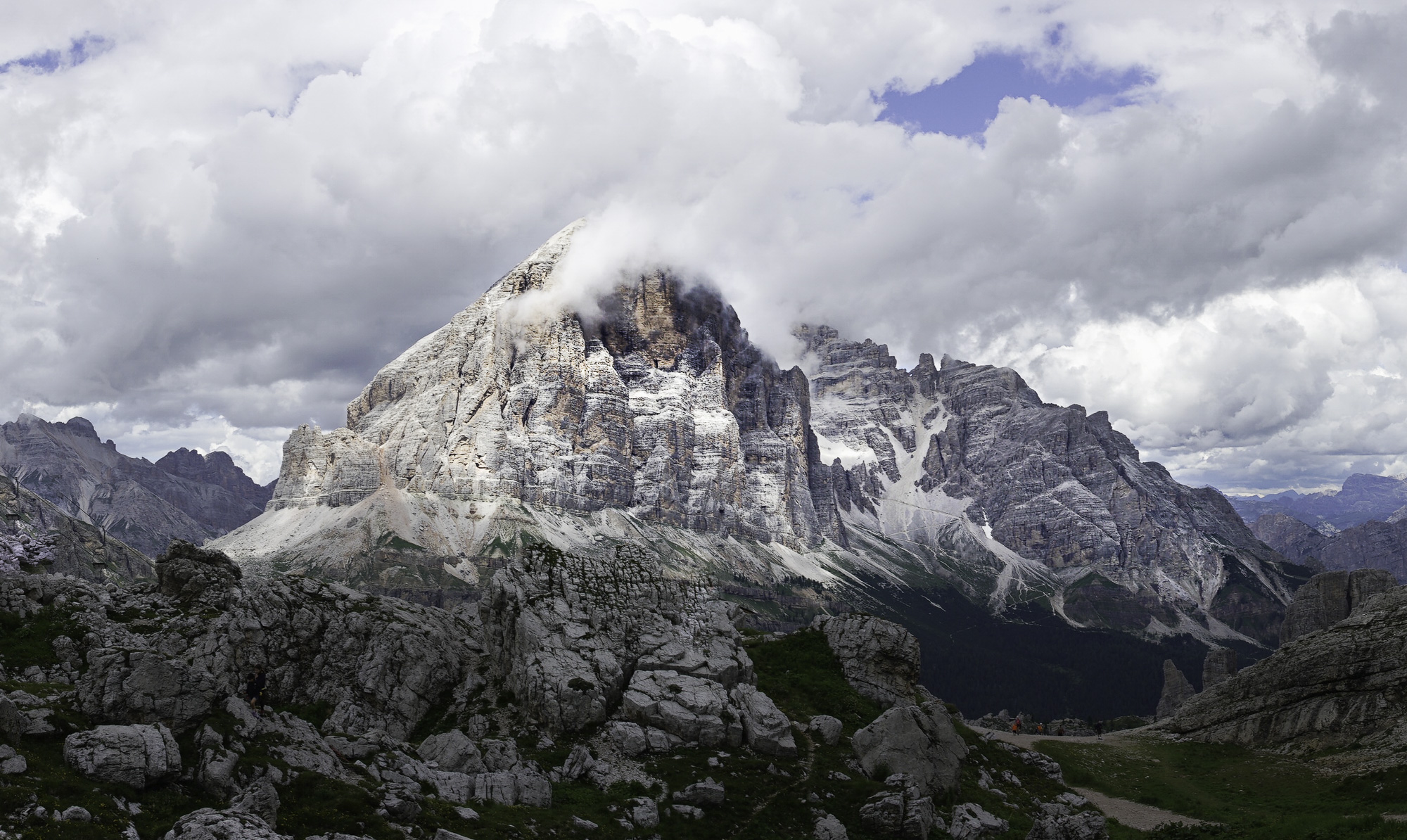
The Spitz de Mondeval pokes up into the clouds. The AV1 trail makes its way up the green alpine plain and then across the rocky base of the formation to the col on the right. The next hut, Citta di Fiume, is not much farther along.
Day 8, on the way from Rifugio Sonino al Coldai to Rifugio Vazzoler. Occasionally the trail crosses a high meadow at a lower elevation and you’re treated to a smooth path. To the left here is the base of a shear rock wall.
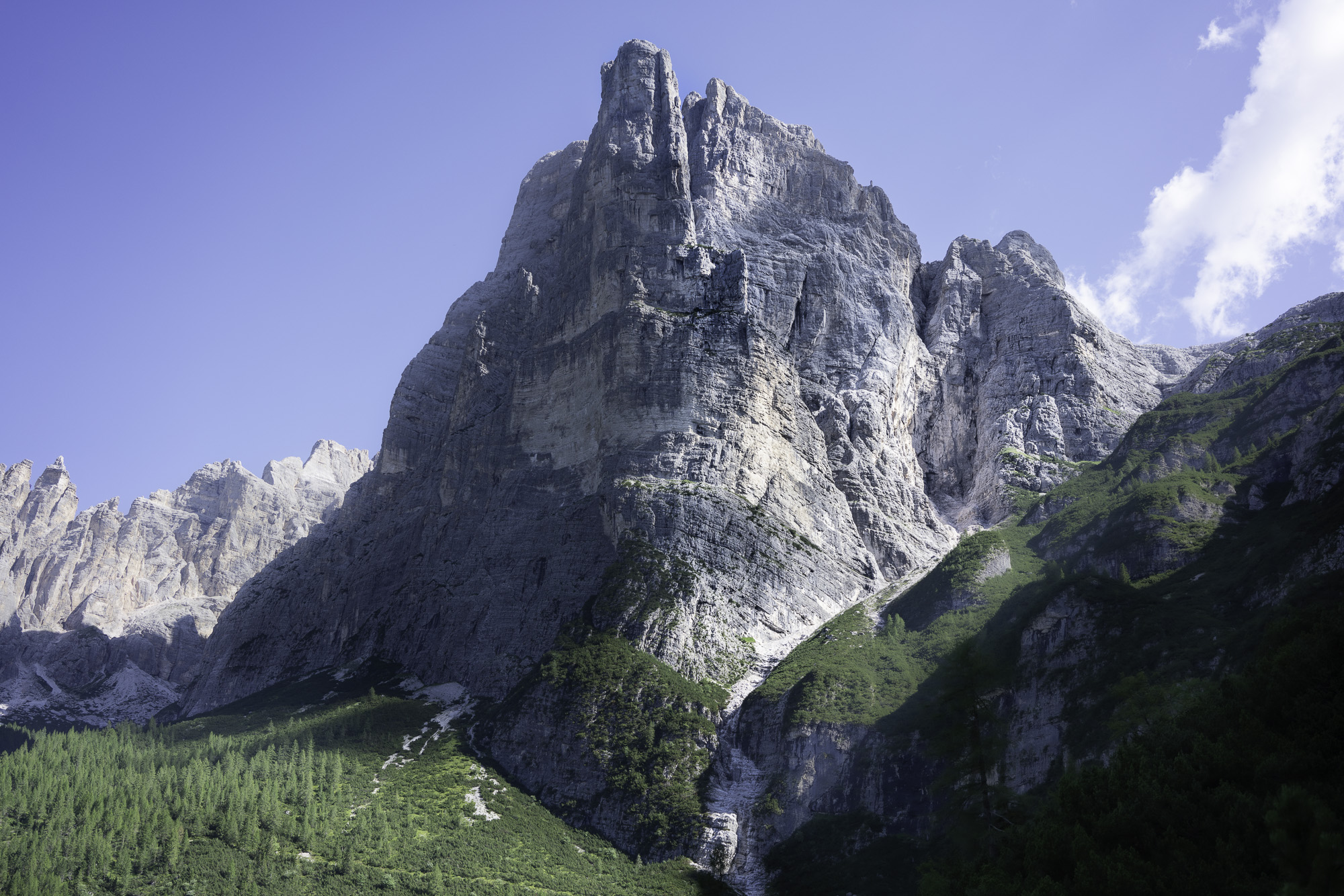
Day 9, on the trail from Rifugio Vazzoler to Rifugio Carestiato, this impressive tower, Torre Trieste, rises into the sky. It is backed by Castello della Busazza. A climber’s paradise.
A longer view of the tower, Torre Trieste, in the sunlight standing in front of Castello della Busazza. Some of the rest of the Civetta group of peaks run north to the left.
Farther along on the day’s trek to Rifugio Carestiato this impressive mass of rock rises up from the wild and isolated Busa del Camp. Its vertical faces are too sheer to support plants or trees.
On Day 11 the AV1 works its way up to an impressive ridge and expansive rocky slope, almost to the summit of the Cime de Zita, before descending to the last hut on my AV1 trek, Rifugio Fontana.
At Forcella de Zita Sud, a col near the summit of Cime de Zita, some young French hikers and I stop for pictures. The views are spectacular, especially of the interesting shapes of the grassy and rocky slopes across the way. Our elevation at this point is about 7,900 feet (about 2,400 meters)
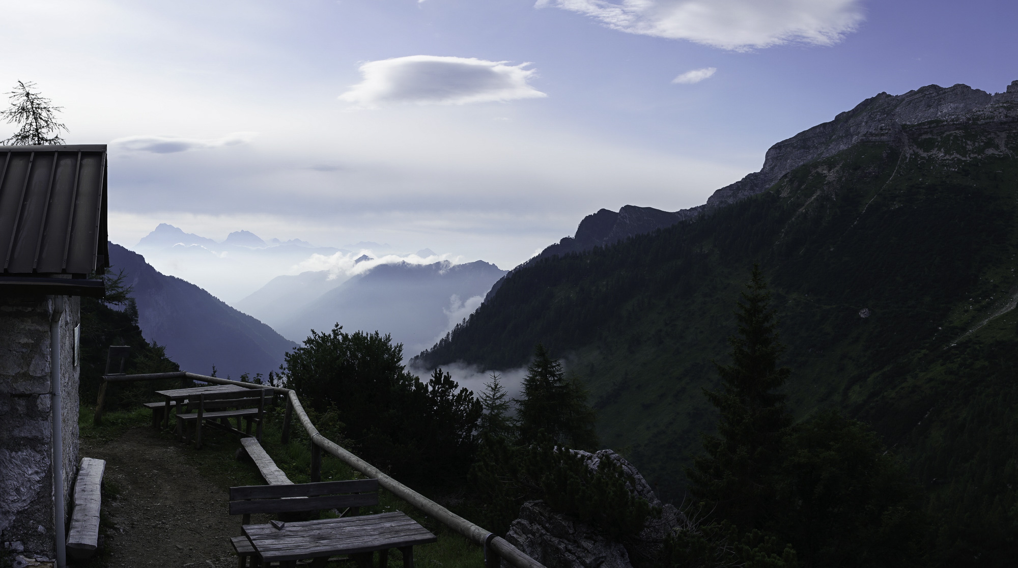
An early morning scene at the rifugio as I start off on the day’s hike. The clouds are below the elevation of the hut; in the distance they are catching the first sunlight of the day.
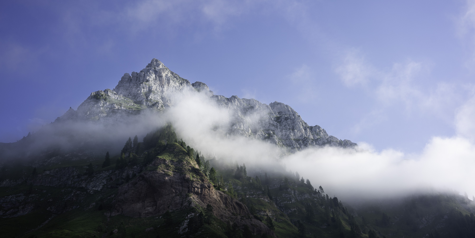
On Day 12, an early morning look up at the peak above my last AV1 hut, Rifugio Fontana, and I head down the mountain to finish the trip!