Vermont – Missisquoi River Delta
In the far northwest corner of Vermont, in the northeastern region of the United States called New England, the northernmost bay of the 107-mile-long Lake Champlain extends a little into Canada, just south of Montreal, Quebec. Into this bay protrudes the wetland-rich delta of the Missisquoi River, a 72-mile-long transboundary river with a watershed that is about 60% in Vermont and 40% in Quebec. Almost 7,000 acres of this delta is managed as a National Wildlife Refuge that features large migratory birds, including Great Blue Herons, Osprey, and Bald Eagles. The refuge is a food-rich stopping point on the Atlantic Flyway of eastern migratory birds. The larger birds roost in great stick-built nests high in the bleached trunks of dead trees. Chicks, if successful, fledge in the second half of July and August.
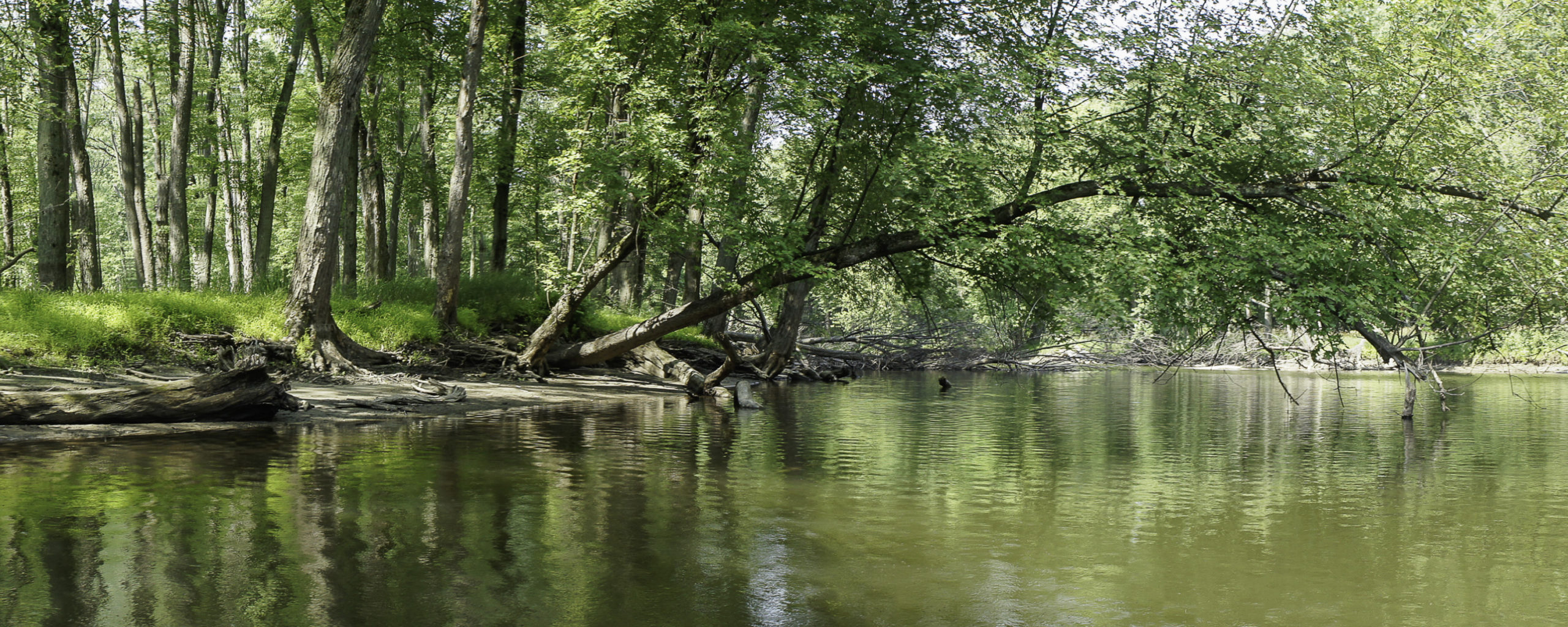
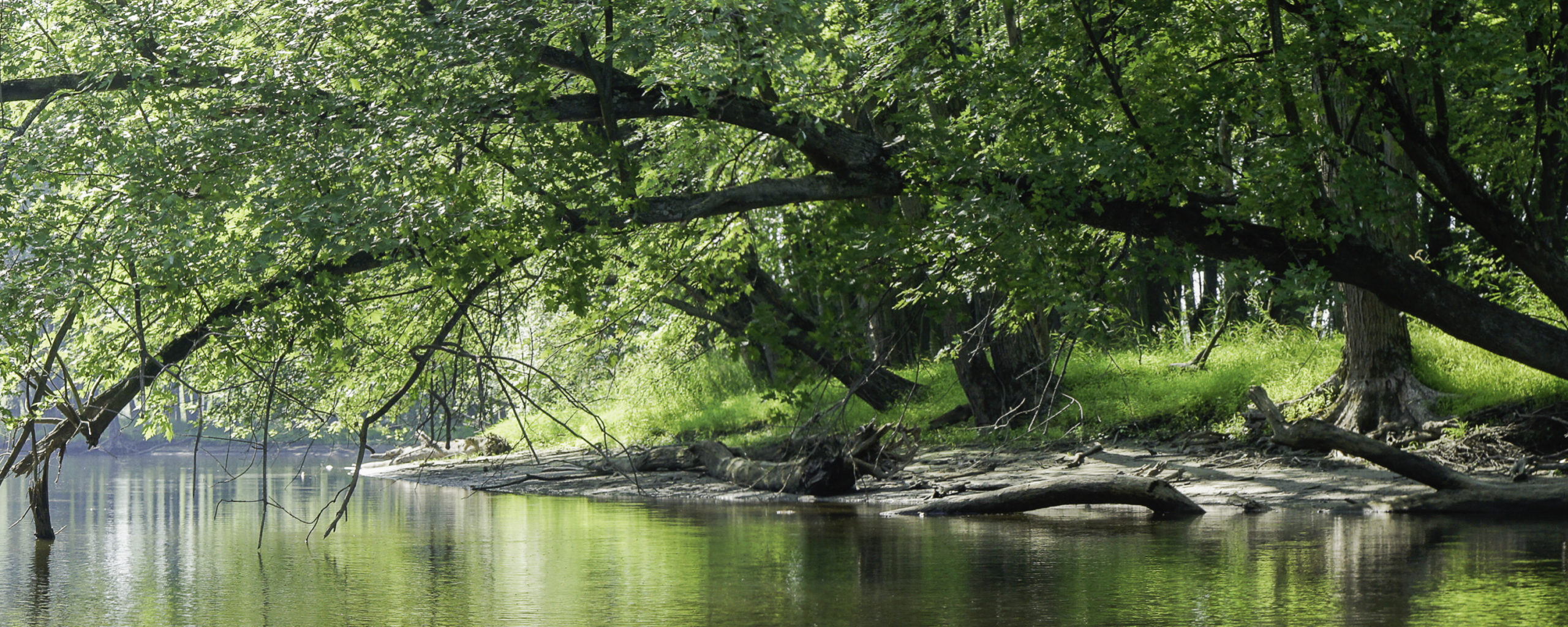
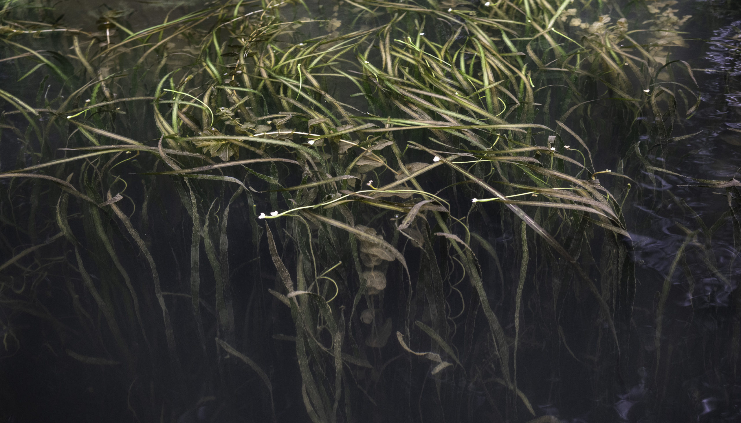
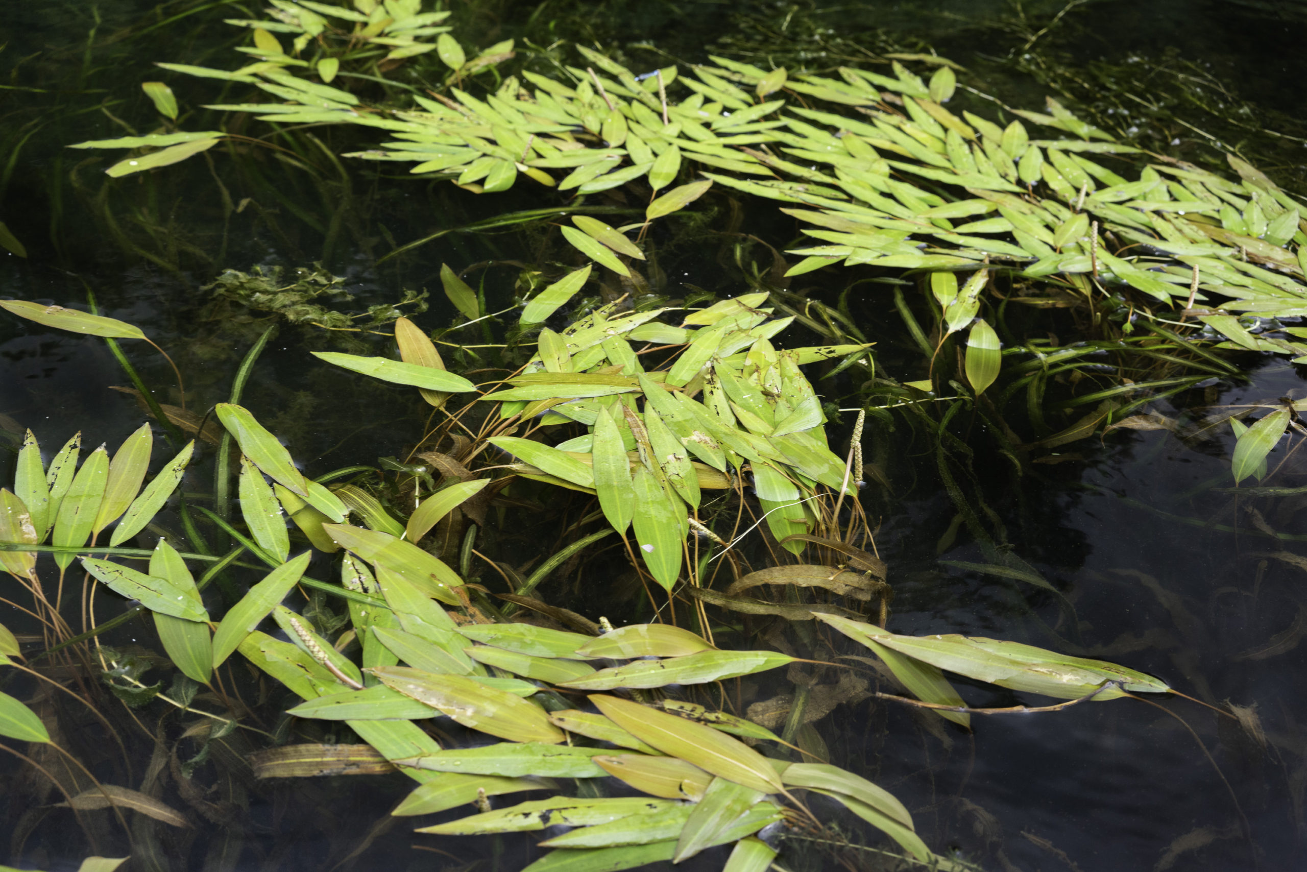
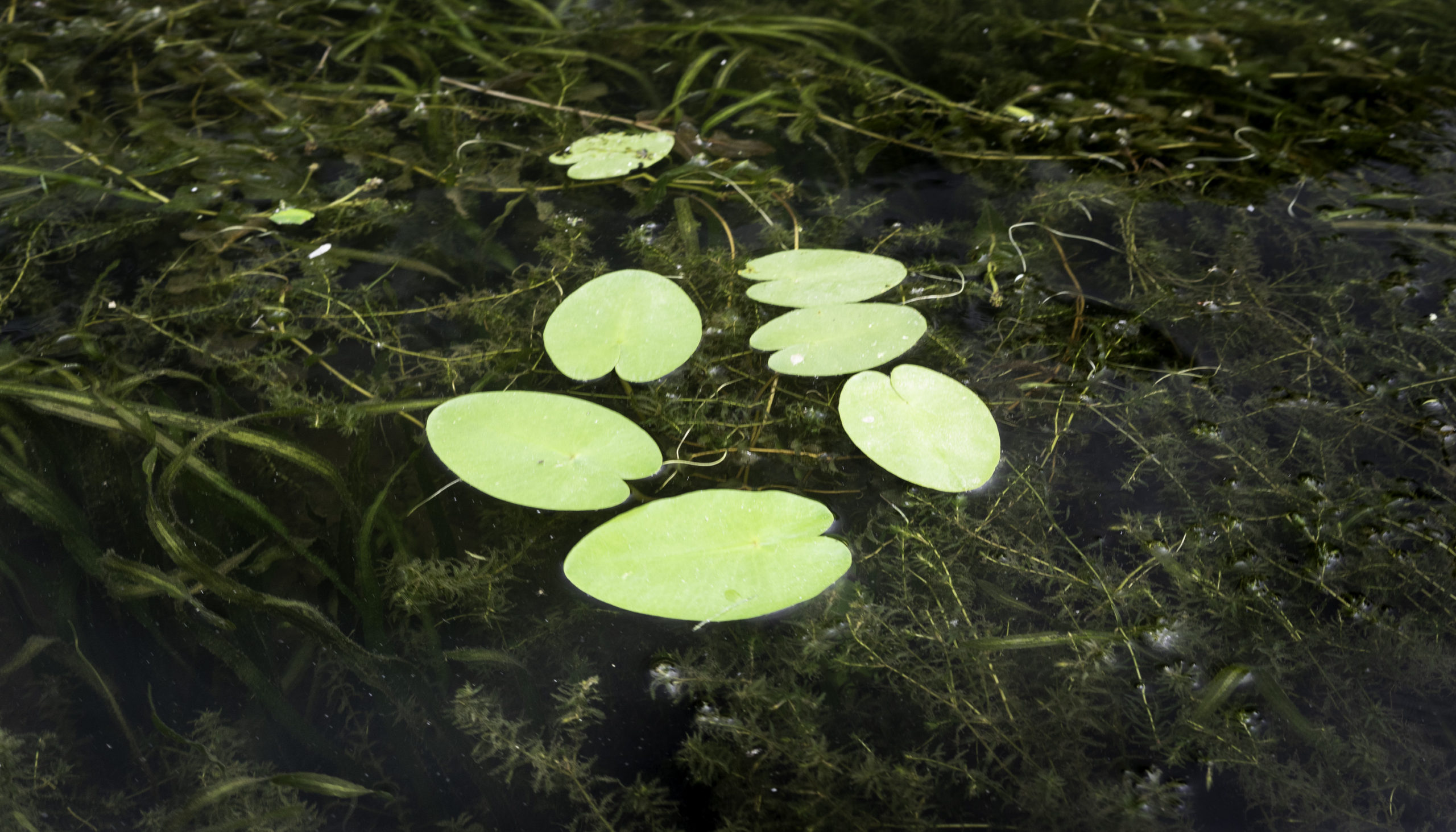
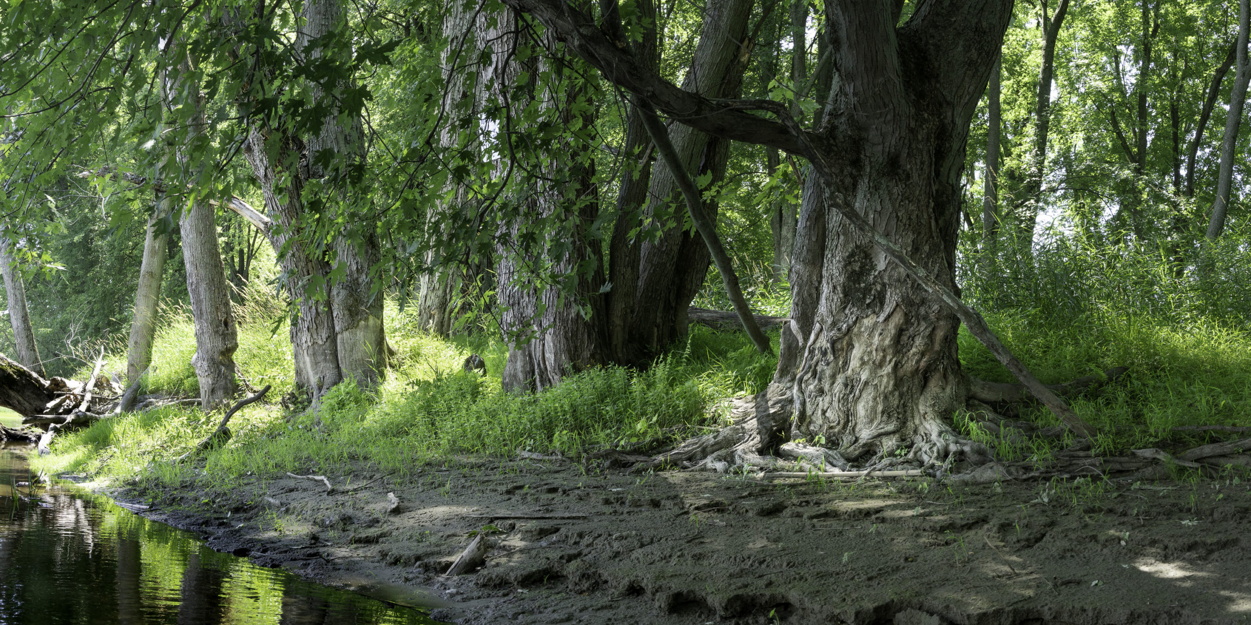
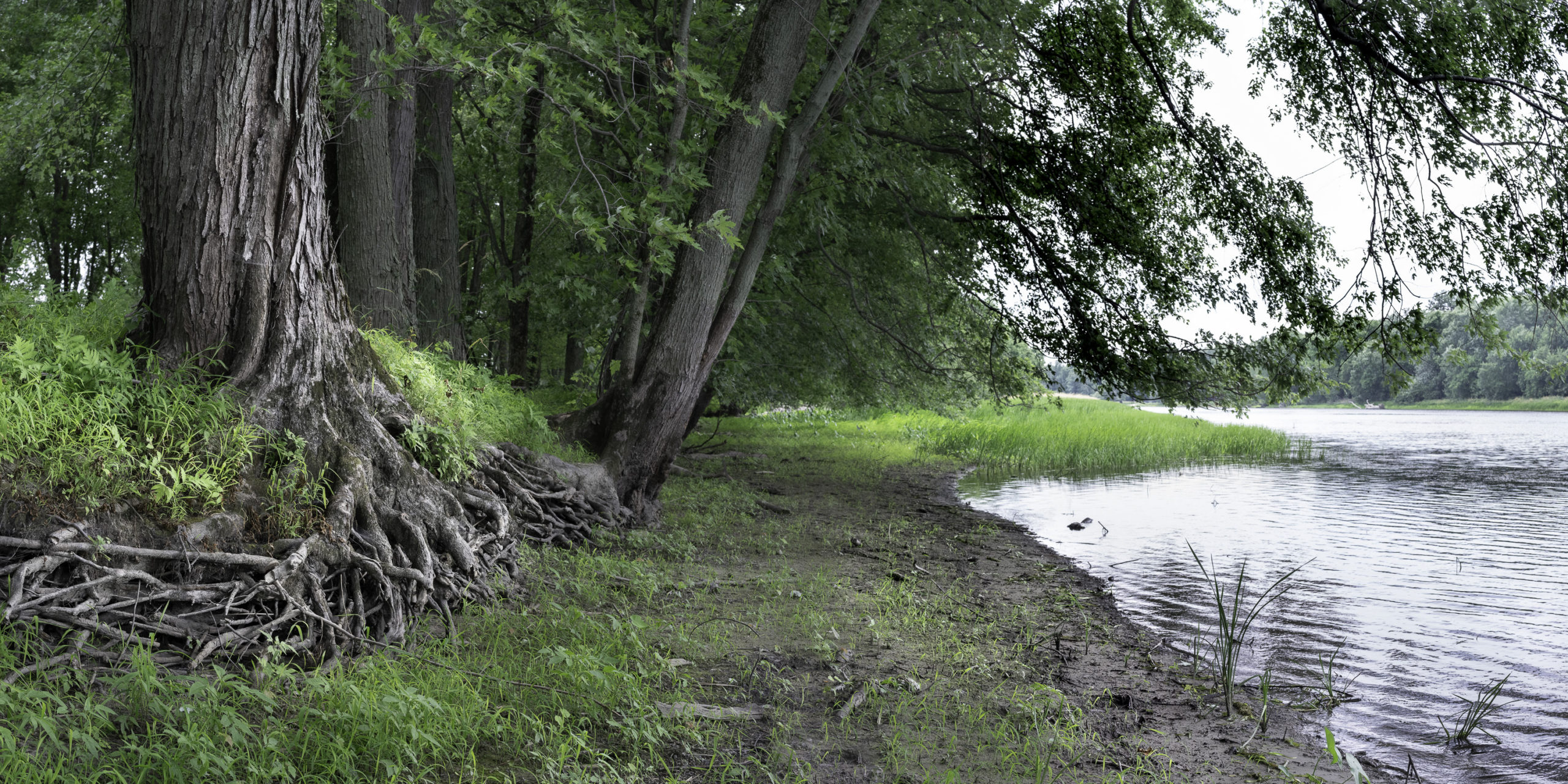
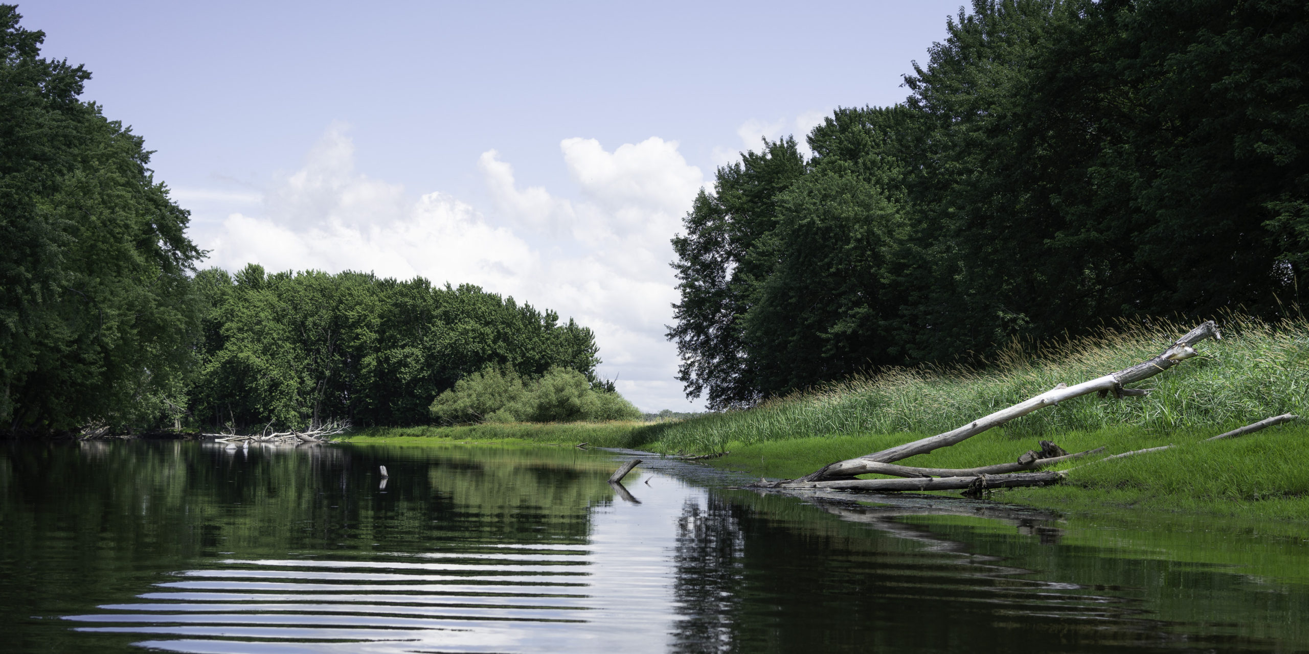
In the middle of July the Missisquoi is a quiet and intimate river for canoeing and kayaking. From a boat landing in the refuge you can paddle about four miles downstream to the mouth of the river, or, for an even quieter and more serene route, you can paddle a mile upstream and then about three miles down a smaller channel called the Dead Creek out to the bay. Both of the routes are lined with natural levees, built up with the silt that the river drops during its period of high flow in the spring, when it overflows its banks. The levees, in turn, support narrow bands of trees that march down either side of the waterways out to the bay. These streams and the adjacent expansive marshes and wetlands provide a rich ecosystem for the large nesting birds, as well as for species of ducks, shorebirds and songbirds, beavers and otters, and fish, turtles, and fresh-water mussels.
Paddling quitely down these final miles of the Missisquoi one glides through the delta’s small but pristine landscapes, absorbing the natural sights and sounds. Heron quietly glide overhead on their broad wingspans; Osprey circle; Red-Winged Blackbirds are busy on the tops of the tall grasses. This year I saw an Osprey nest high in a tree toward the end of the Dead Creek channel. I brought the kayak to the water’s edge and watched the nest for a while through binoculars. Two Osprey chicks, grown large by this time of the summer, were just visible, spreading their wings occasionally. The parent Osprey didn’t seem happy to have an observer nearby. It left the nest twice to fly a wide circle, noisy with its high-pitched whistling/chirping call.
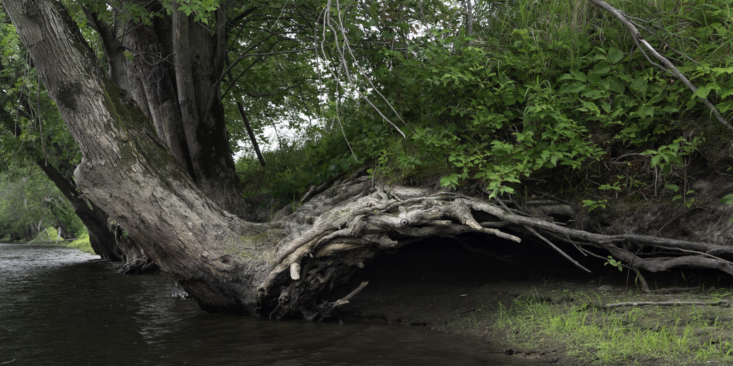
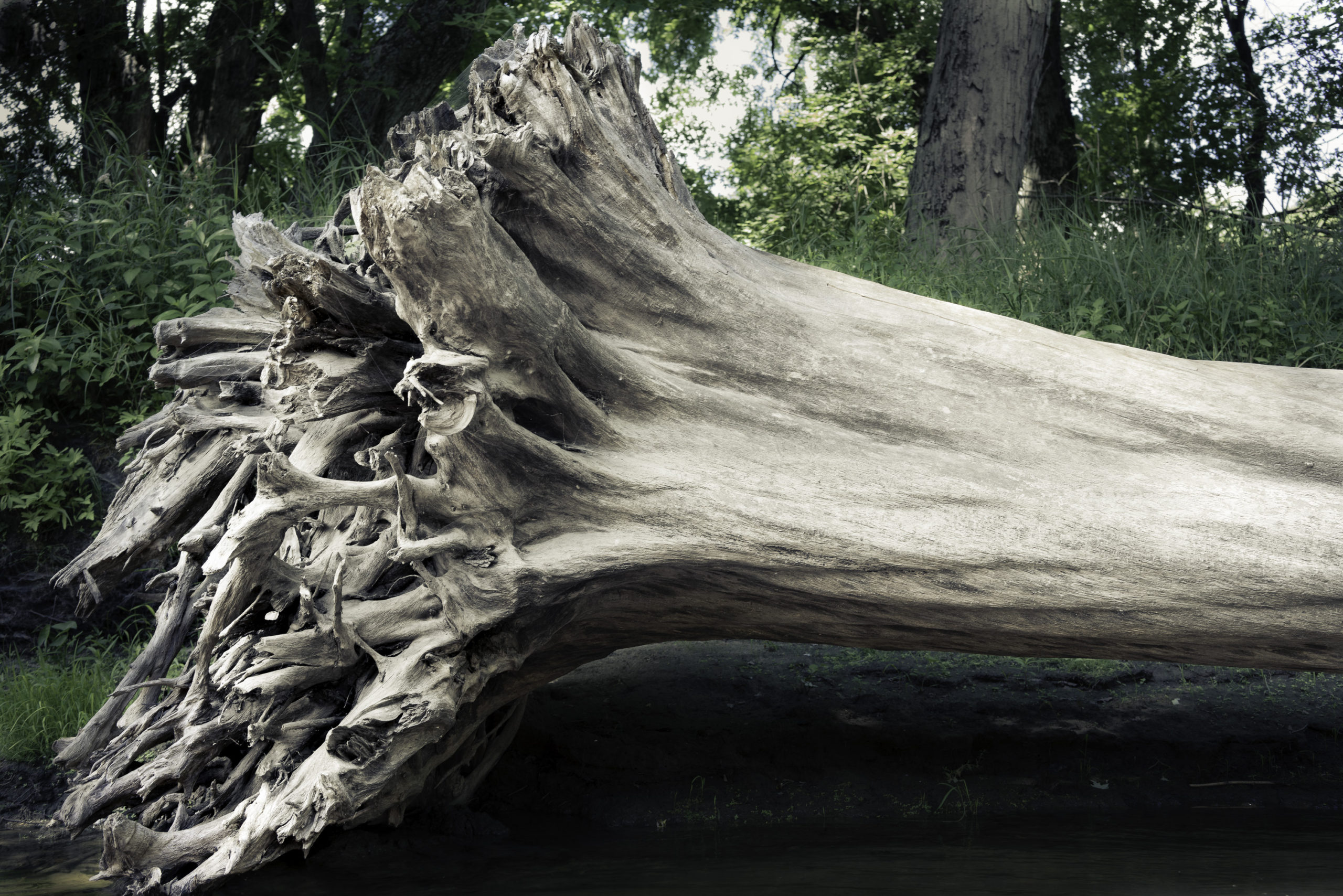
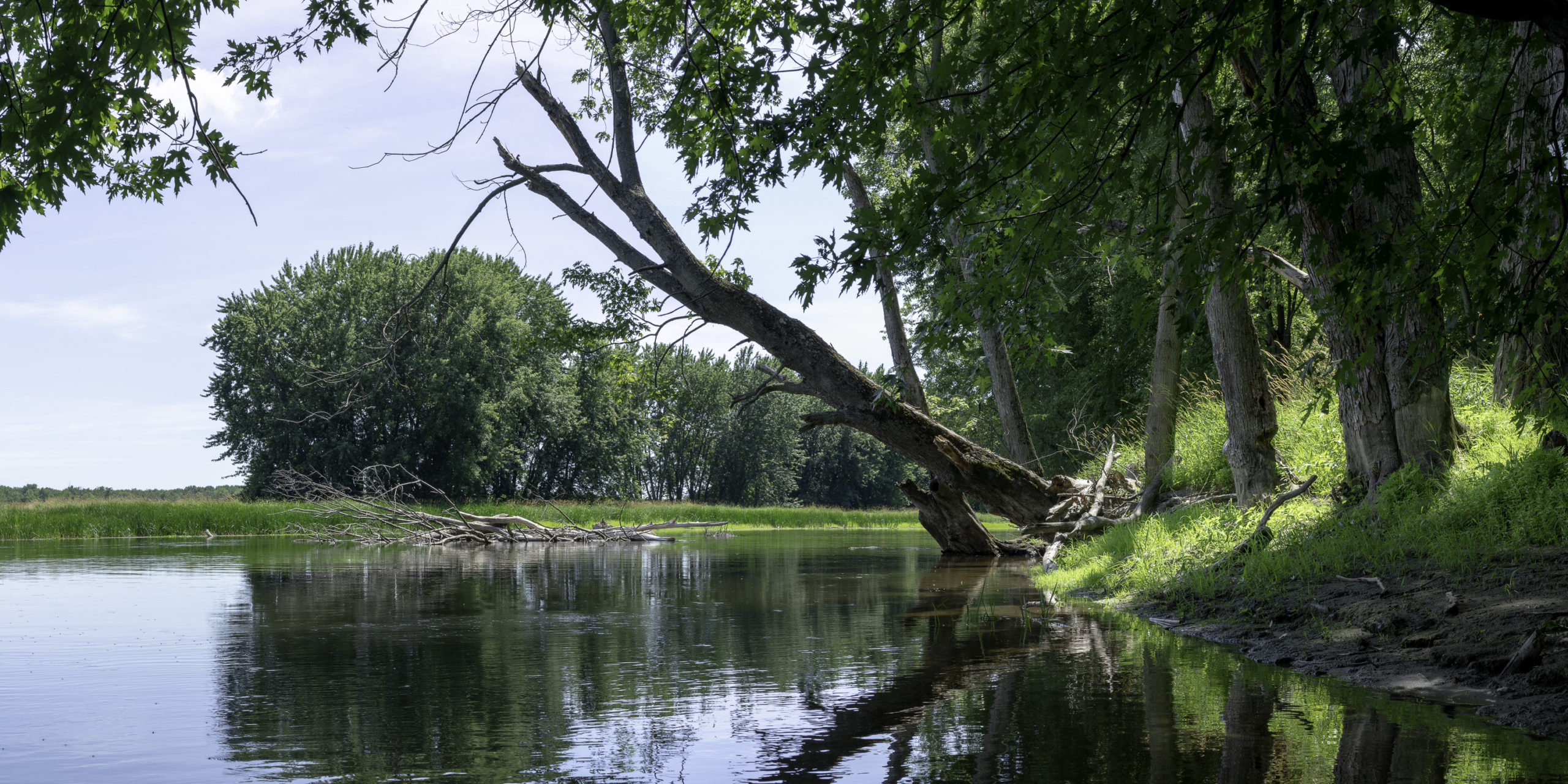
Proceeding out toward the bay the scale of the silt-formed levees and their flanking wooded runways gets smaller. The processions of trees become more open and glade-like, with sunlit grasses. Toward the mouths of the channels the trees give way to tall grasses over which you can see the expansive wetlands that extend beyond the narrow boundaries of the levees. Along the way trees that have become too large to be supported by the fragile levee soil lean out over the water, sometimes with upper branches dipping down into the stream. Eventually such trees succumb to the pull of gravity and their root structures tilt out of the soil. After a time their bleached trunks and complex root systems lie down to reside by the water’s edge, available for close inspection.